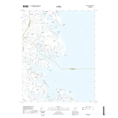
2019 Map of Fleets Bay
USGS Topo · Published 2019About this map
The intricate shoreline of the Northern Neck is defined by deep tidal inlets like Dividing Creek and Indian Creek, where the land fractures into narrow points and necks. Centered on the eastern edge of Kilmarnock, the map documents a landscape of coastal settlements and family estates that have persisted for generations. This 2019 survey illustrates the dense concentration of waterfront geography including Fleets Bay Neck and Antipoison Neck, showing how modern residential development has integrated with traditional locales like Ditchley and Lynhams.
Find a feature on this map
139 named features on this map. Tap any name to fly to it.
Don’t see what you’re looking for? This feature index may not catch every label — zoom into the map to look around manually.
Map Details
Editions of this 2019 Fleets Bay Map
This is the sole edition of this map. No revisions or reprints were ever made.
Other maps of this area

1916 · Kilmarnock
USGS Topo · 1:48,000

1917 · Heathsville
USGS Topo · 1:48,000

1917 · Kilmarnock
USGS Topo · 1:62,500

1917 · Ewell
USGS Topo · 1:62,500

1942 · Kilmarnock
USGS Topo · 1:62,500

1943 · Richmond
USGS Topo · 1:250,000

1944 · Reedville
USGS Topo · 1:31,680

1948 · Deltaville
USGS Topo · 1:24,000
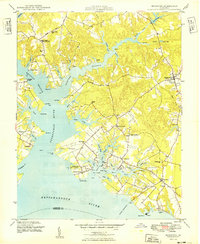
1949 · Irvington
USGS Topo · 1:24,000
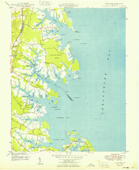
1949 · Fleets Bay
USGS Topo · 1:24,000