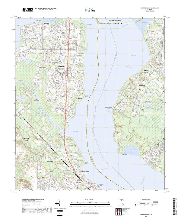
2024 Map of Fleming Island
USGS Topo · Published 2024About this map
The Saint Johns River dominates this landscape, carving a wide path between the residential developments of Fleming Island and the established communities of Fruit Cove and Switzerland. To the north, Doctors Lake creates a distinct peninsula, home to the neighborhood of Neilhurst. The geography is defined by numerous points and coves, from Ragged Point in the north to the southern stretch near Green Cove Springs, where the Clay County Courthouse stands as a civic landmark.
Find a feature on this map
100 named features on this map. Tap any name to fly to it.
Don’t see what you’re looking for? This feature index may not catch every label — zoom into the map to look around manually.
Map Details
Editions of this 2024 Fleming Island Map
This is the sole edition of this map. No revisions or reprints were ever made.
Other maps of this area

1917 · Orange Park
USGS Topo · 1:62,500

1918 · Middleburg
USGS Topo · 1:62,500

1918 · Orange Park
USGS Topo · 1:62,500

1941 · Middleburg
USGS Topo · 1:62,500

1942 · Ates Creek
USGS Topo · 1:62,500

1947 · Bostwick
USGS Topo · 1:50,000

1948 · Jacksonville
USGS Topo · 1:250,000

1949 · Green Cove Springs
USGS Topo · 1:24,000

1949 · Middleburg
USGS Topo · 1:24,000

1949 · Jacksonville Heights
USGS Topo · 1:24,000