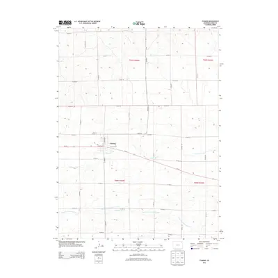
2013 Map of Fleming
USGS Topo · Published 2013About this map
Fleming serves as the central hub of this eastern Logan County landscape, situated along the corridor of Us-6 W and a prominent rail line. The town's grid is anchored by thoroughfares like W Weston St, N Railway St, and N Logan Ave, reflecting its role as a regional transport and agricultural shipping point. Just northwest of the town center, the Fleming Cem provides a point of interest for genealogists tracing local family histories.
Find a feature on this map
29 named features on this map. Tap any name to fly to it.
Don’t see what you’re looking for? This feature index may not catch every label — zoom into the map to look around manually.
Map Details
Editions of this 2013 Fleming Map
This is the sole edition of this map. No revisions or reprints were ever made.
Other maps of this area

1953 · Tamarack Ranch
USGS Topo · 1:24,000

1953 · Crook
USGS Topo · 1:24,000

1953 · Proctor
USGS Topo · 1:24,000

1954 · Sterling
USGS Topo · 1:250,000

1958 · Sterling
USGS Topo · 1:250,000

1962 · Fleming
USGS Topo · 1:24,000

1962 · Uhler Ranch
USGS Topo · 1:24,000

1962 · Haxtun West
USGS Topo · 1:24,000

1972 · St Petersburg
USGS Topo · 1:24,000

1972 · Rockland
USGS Topo · 1:24,000