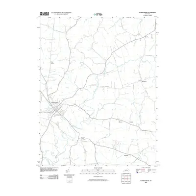
2010 Map of Flemingsburg
USGS Topo · Published 2010About this map
Flemingsburg serves as the central hub of this 2010 topographic study, showing the city's street grid at the confluence of the Town Branch and Fleming Creek. The landscape is defined by the winding paths of rural routes and significant watercourses like Wilson Run and Allison Creek, which carve through the terrain toward the south. Local heritage is preserved in the locations of the Fitche Chapel Cemetery to the northwest and the Arnold Cemetery near Beechburg.
Find a feature on this map
47 named features on this map. Tap any name to fly to it.
Don’t see what you’re looking for? This feature index may not catch every label — zoom into the map to look around manually.
Map Details
Editions of this 2010 Flemingsburg Map
This is the sole edition of this map. No revisions or reprints were ever made.
Other maps of this area

1915 · Maysville
USGS Topo · 1:62,500

1919 · Maysville
USGS Topo · 1:62,500

1929 · Springdale
USGS Topo · 1:48,000

1935 · Springdale
USGS Topo · 1:62,500

1951 · Hillsboro
USGS Topo · 1:24,000

1951 · Plummers Landing
USGS Topo · 1:24,000

1951 · Burtonville
USGS Topo · 1:24,000

1951 · Flemingsburg
USGS Topo · 1:24,000

1952 · Sherburne
USGS Topo · 1:24,000

1952 · Elizaville
USGS Topo · 1:24,000