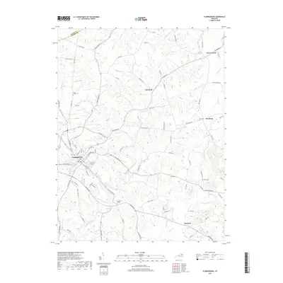
2019 Map of Flemingsburg
USGS Topo · Published 2019About this map
Flemingsburg serves as the hub of this rural landscape, situated at the intersection of several prominent roads and pikes in the Bluegrass region. The terrain is characterized by the winding path of Fleming Creek and its many tributaries, including Wilson Run and Allison Cr, which have carved out a complex system of ridges and valleys. Small settlements like Dalesburg, Mount Carmel, and Beechburg are scattered throughout the agricultural uplands, each connected by a network of historic routes such as Mt Carmel Rd and Beechtree Pike.
Find a feature on this map
90 named features on this map. Tap any name to fly to it.
Don’t see what you’re looking for? This feature index may not catch every label — zoom into the map to look around manually.
Map Details
Editions of this 2019 Flemingsburg Map
This is the sole edition of this map. No revisions or reprints were ever made.
Other maps of this area

1915 · Maysville
USGS Topo · 1:62,500

1919 · Maysville
USGS Topo · 1:62,500

1929 · Springdale
USGS Topo · 1:48,000

1935 · Springdale
USGS Topo · 1:62,500

1951 · Hillsboro
USGS Topo · 1:24,000

1951 · Plummers Landing
USGS Topo · 1:24,000

1951 · Burtonville
USGS Topo · 1:24,000

1951 · Flemingsburg
USGS Topo · 1:24,000

1952 · Sherburne
USGS Topo · 1:24,000

1952 · Elizaville
USGS Topo · 1:24,000