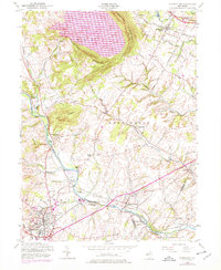
1954 Map of Flemington
USGS Topo · Published 1979About this map
Cushetunk Mountain dominates the northern horizon, encircling the deep basin of the Round Valley Reservoir. This 1954 cultural layer, updated in 1970, reveals a landscape of transition where the agricultural character of Hunterdon County meets the growing rail-connected hubs of Flemington and Whitehouse Station. A network of historic mill sites such as Holcomb Mills, Rockefellows Mills, and Rowland Mills follows the course of the South Branch Raritan River, signaling an earlier water-powered economy. The area is intersected by major transport arteries including the Central RR of New Jersey and the Lehigh Valley RR, which converge at Flemington Junction. Local landmarks such as the Woods Church and the Newell Sch provide specific points of interest for those tracing the social and educational geography of the mid-twentieth century.
Find a feature on this map
54 named features on this map. Tap any name to fly to it.
Don’t see what you’re looking for? This feature index may not catch every label — zoom into the map to look around manually.
Map Details
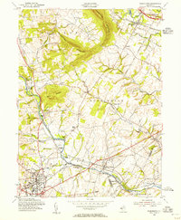
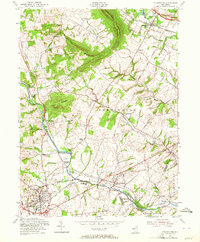
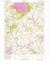
Editions of this 1954 Flemington Map
4 editions found
Other maps of this area

1888 · Princeton
USGS Topo · 1:62,500

1890 · High Bridge
USGS Topo · 1:62,500

1890 · Lambertville
USGS Topo · 1:62,500

1891 · Somerville
USGS Topo · 1:62,500

1891 · Lambertville
USGS Topo · 1:62,500

1893 · Somerville
USGS Topo · 1:62,500

1894 · Princeton
USGS Topo · 1:62,500

1894 · Lambertville
USGS Topo · 1:62,500

1898 · High Bridge
USGS Topo · 1:62,500

1898 · Somerville
USGS Topo · 1:62,500