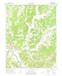
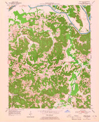
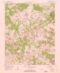
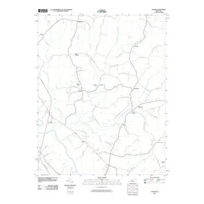
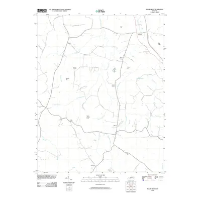
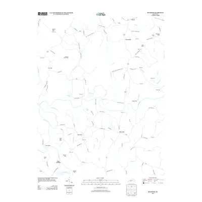
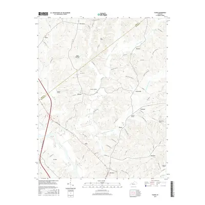
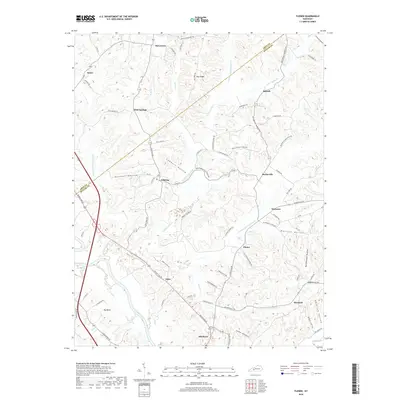
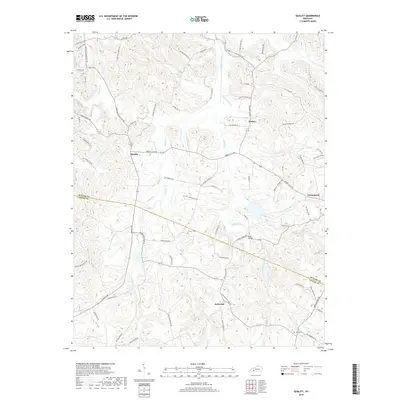
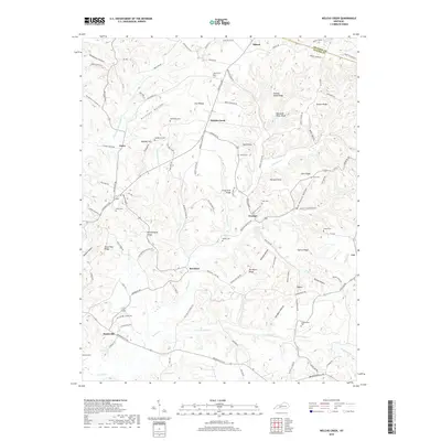
1973 Map of Flener
USGS Topo · Published 1974About this map
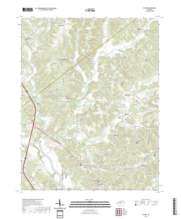
Green River curves through the southwestern corner of this Butler and Ohio County landscape, anchoring a rural region defined by small hilltop settlements and deep wooded hollows. The survey captures the community structure of the early 1970s, where crossroads like Gilstrap, Dexterville, and Baizetown served as local centers. Educational and spiritual life is marked by the Fifth District Sch and several country churches including Flener Chapel and McKendree Chapel.
Find a feature on this map
41 named features on this map. Tap any name to fly to it.
Don’t see what you’re looking for? This feature index may not catch every label — zoom into the map to look around manually.
Map Details
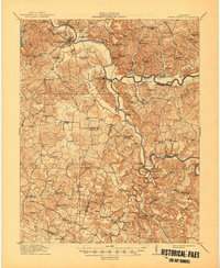
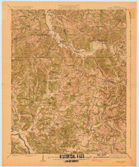
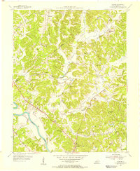
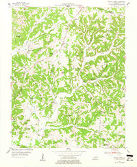
Editions of this 1973 Flener Map
2 editions found
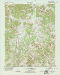
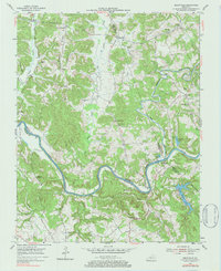
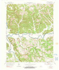
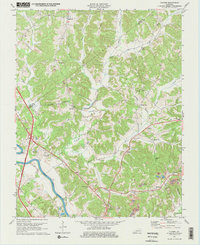
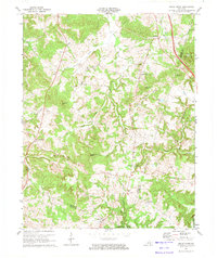
Historical Maps of Baizetown Through Time
46 maps found
1914 Little Muddy
Butler County, KY
1925 Spring Lick
Butler County, KY
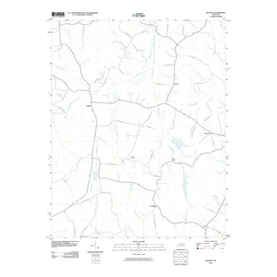
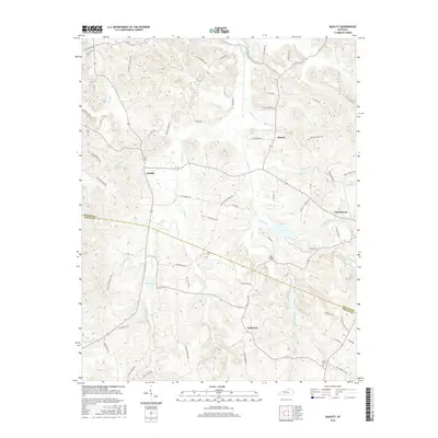
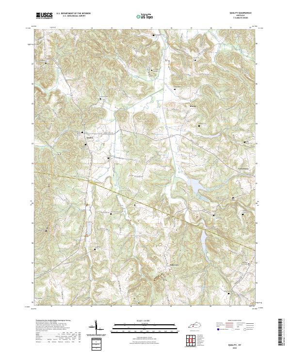
1953 Quality
Butler County, KY
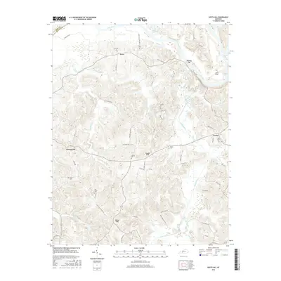
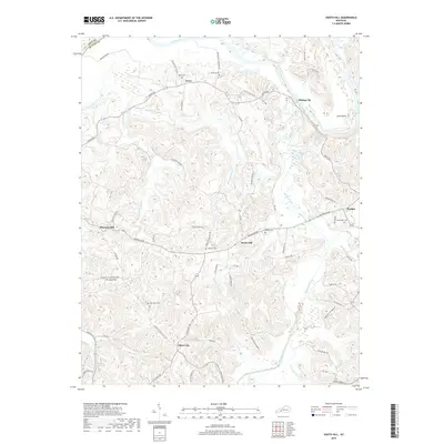
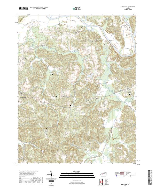
1953 South Hill
Butler County, KY
1954 Flener
Butler County, KY
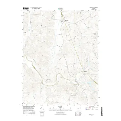
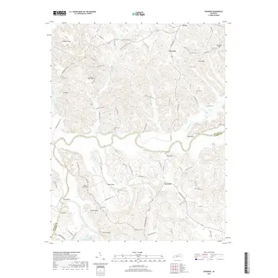
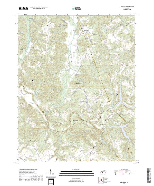
1954 Reedyville
Butler County, KY
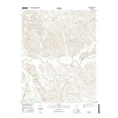
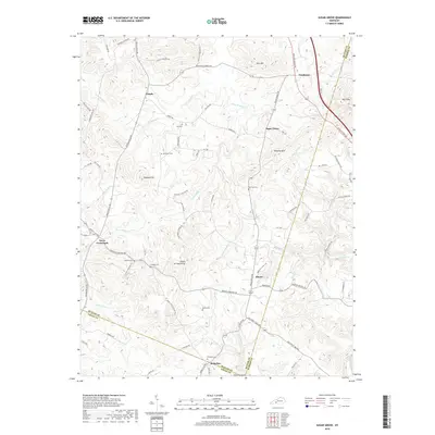
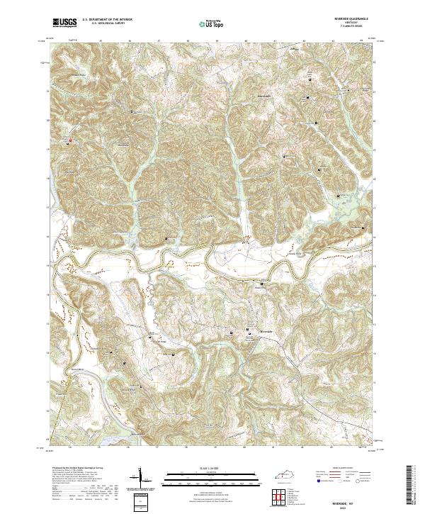
1954 Riverside
Butler County, KY
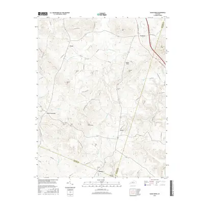
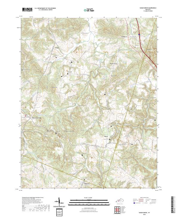
1954 Sugar Grove
Butler County, KY
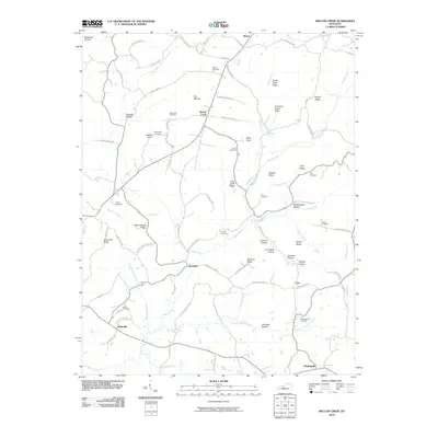
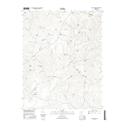
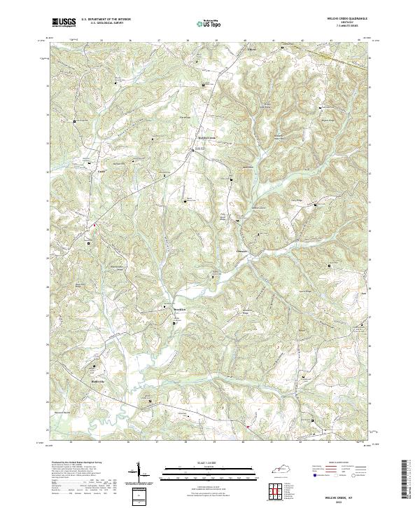
1954 Welchs Creek
Butler County, KY
1973 Flener
Butler County, KY
1973 Sugar Grove
Butler County, KY
2010 Flener
Butler County, KY
2010 Quality
Butler County, KY

2010 Reedyville
Butler County, KY
2010 Riverside
Butler County, KY
2010 South Hill
Butler County, KY
2010 Sugar Grove
Butler County, KY
2010 Welchs Creek
Butler County, KY
2013 Flener
Butler County, KY
2013 Quality
Butler County, KY

2013 Reedyville
Butler County, KY
2013 Riverside
Butler County, KY
2013 South Hill
Butler County, KY
2013 Sugar Grove
Butler County, KY
2013 Welchs Creek
Butler County, KY
2016 Flener
Butler County, KY
2016 Quality
Butler County, KY
2016 Reedyville
Butler County, KY
2016 Riverside
Butler County, KY
2016 South Hill
Butler County, KY
2016 Sugar Grove
Butler County, KY
2016 Welchs Creek
Butler County, KY
2019 Flener
Butler County, KY
2019 Quality
Butler County, KY

2019 Reedyville
Butler County, KY
2019 Riverside
Butler County, KY
2019 South Hill
Butler County, KY
2019 Sugar Grove
Butler County, KY
2019 Welchs Creek
Butler County, KY
2022 Flener
Butler County, KY
2022 Quality
Butler County, KY
2022 Reedyville
Butler County, KY
2022 Riverside
Butler County, KY
2022 South Hill
Butler County, KY
2022 Sugar Grove
Butler County, KY
2022 Welchs Creek
Butler County, KY