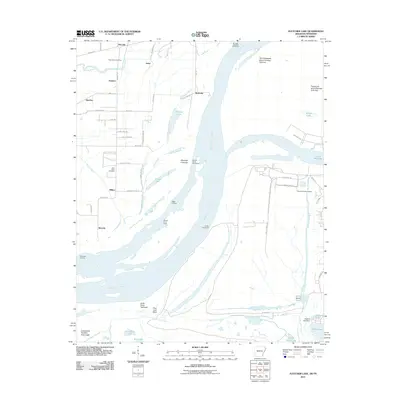
2011 Map of Fletcher Lake
USGS Topo · Published 2011About this map
The Mississippi River creates a complex hydrologic landscape south of Memphis, where state lines and river channels shift across a network of chutes and islands. This 2011 survey illustrates the intricate relationship between the river and the surrounding lowlands, featuring industrial developments like those near Lake McKellar alongside ancient sites like the Chucalissa Indian Village. The terrain is marked by engineered features such as the Ensley Revetment and Dismal Point Dikes, designed to manage the flow around major landmarks like Vice Presidents Island Number Forty-six.
Find a feature on this map
64 named features on this map. Tap any name to fly to it.
Don’t see what you’re looking for? This feature index may not catch every label — zoom into the map to look around manually.
Map Details
Editions of this 2011 Fletcher Lake Map
This is the sole edition of this map. No revisions or reprints were ever made.
Other maps of this area

1908 · Lake Cormorant
USGS Topo · 1:24,000

1912 · Lake Cormorant
USGS Topo · 1:31,680

1916 · Memphis
USGS Topo · 1:62,500

1925 · Memphis
USGS Topo · 1:48,000

1927 · Memphis
USGS Topo · 1:62,500

1931 · Horseshoe Lake
USGS Topo · 1:62,500

1932 · Horn Lake
USGS Topo · 1:48,000

1935 · Horn Lake
USGS Topo · 1:62,500

1939 · Horseshoe Lake
USGS Topo · 1:62,500

1939 · Edmondson
USGS Topo · 1:62,500