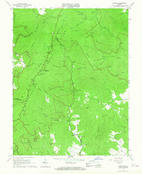
1965 Map of Fletcher
USGS Topo · Published 1967About this map
Shenandoah Nat Park dominates this mid-1960s landscape, where the high ridges of the Blue Mountains meet the headwaters of the Rapidan River. The crest of the range is traced by Skyline Drive, providing access to high-altitude landmarks like Hazeltop and Bearfence Mountain. Below the ridge, the map reveals the complex social and recreational geography of the era, from the established facilities at Lewis Mountain Campground to the historically significant Camp Hoover and Rapidan Camp located along Mill Prong.
Find a feature on this map
83 named features on this map. Tap any name to fly to it.
Don’t see what you’re looking for? This feature index may not catch every label — zoom into the map to look around manually.
Map Details
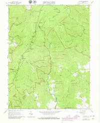
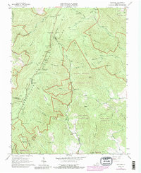
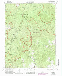
Editions of this 1965 Fletcher Map
4 editions found
Other maps of this area

1892 · Woodstock
USGS Topo · 1:125,000

1892 · Gordonsville
USGS Topo · 1:125,000

1892 · Harrisonburg
USGS Topo · 1:125,000

1893 · Luray
USGS Topo · 1:125,000

1905 · Luray
USGS Topo · 1:125,000

1929 · Stony Man
USGS Topo · 1:48,000

1930 · Madison
USGS Topo · 1:48,000

1933 · Stony Man
USGS Topo · 1:62,500

1933 · Madison
USGS Topo · 1:62,500

1937 · Elkton
USGS Topo · 1:62,500