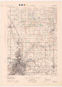
1943 Map of Flint
USGS Topo · Published 1944About this map
The Flint metropolitan area and its northern rural townships are captured in high detail by this War Department survey, which reflects the industrial and educational layout of the region during the early 1940s. The city's dense urban grid transitions into the surrounding townships of Mt Morris, Genesee, and Burton, where a remarkable density of one-room schoolhouses like Wildcat Sch, Beckwith Sch, and Goodenough Sch anchor the farming community.
Find a feature on this map
62 named features on this map. Tap any name to fly to it.
Don’t see what you’re looking for? This feature index may not catch every label — zoom into the map to look around manually.
Map Details
Editions of this 1943 Flint Map
This is the sole edition of this map. No revisions or reprints were ever made.
Other maps of this area
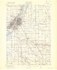
1919 · Saginaw
USGS Topo · 1:62,500
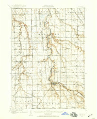
1919 · Burt
USGS Topo · 1:62,500
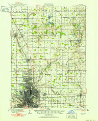
1920 · Flint
USGS Topo · 1:62,500
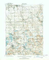
1920 · Holly
USGS Topo · 1:62,500
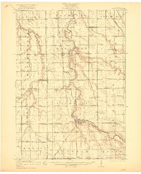
1921 · Burt
USGS Topo · 1:62,500
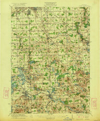
1922 · Holly
USGS Topo · 1:62,500
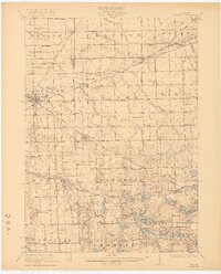
1922 · Durand
USGS Topo · 1:62,500
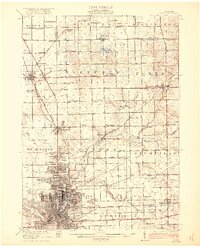
1922 · Flint
USGS Topo · 1:62,500
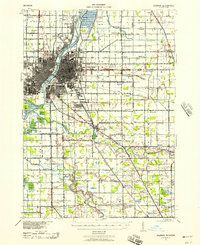
1941 · Saginaw
USGS Topo · 1:62,500
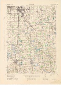
1943 · Holly
USGS Topo · 1:62,500