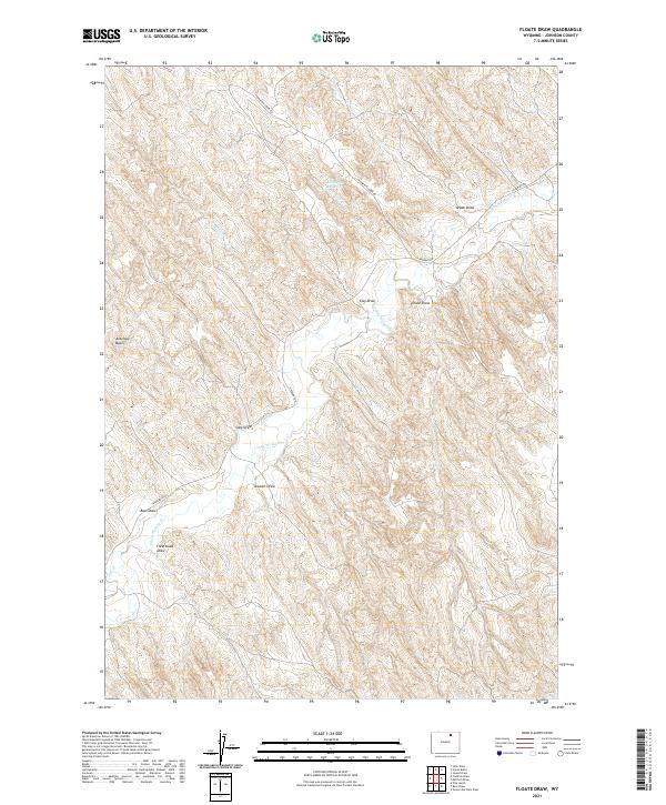
2021 Map of Floate Draw
USGS Topo · Published 2021About this map
Crazy Woman Cr winds through this section of Johnson County, cutting through a landscape defined by an intricate network of drainage basins and named draws. The terrain is marked by the presence of the Kimberly Reservoir along Cow Cr, serving as a vital water source in this semi-arid environment. Local ranchers and historians can trace historical land use through the named draws that crisscross the quadrangle, including Arpan Draw, Clay Draw, and the titular Floate Draw. Access across this expansive territory is primarily facilitated by the winding paths of Thompson Creek Rd and Tipperary Rd, which navigate the various basins such as Antelope Basin. The map provides a detailed view of the natural topography and primitive road structures that have sustained the region's agricultural and ranching heritage into the twenty-first century.
Find a feature on this map
18 named features on this map. Tap any name to fly to it.
Don’t see what you’re looking for? This feature index may not catch every label — zoom into the map to look around manually.
Map Details
Editions of this 2021 Floate Draw Map
This is the sole edition of this map. No revisions or reprints were ever made.
Other maps of this area

1955 · Sheridan
USGS Topo · 1:250,000

1958 · Sheridan
USGS Topo · 1:250,000

1962 · Sheridan
USGS Topo · 1:250,000
1971 · Julio Draw
USGS Topo · 1:24,000

1972 · Mitchell Draw
USGS Topo · 1:24,000
1972 · Pine Gulch
USGS Topo · 1:24,000
1972 · Bear Draw
USGS Topo · 1:24,000
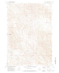
1972 · Jewell Draw
USGS Topo · 1:24,000
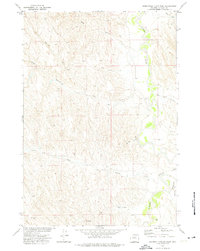
1972 · Somerville Flats West
USGS Topo · 1:24,000
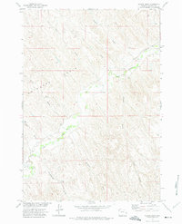
1972 · Floate Draw
USGS Topo · 1:24,000