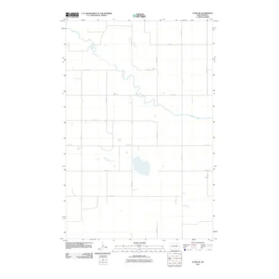
2011 Map of Flora SE
USGS Topo · Published 2011About this map
The Sheyenne River meanders through this portion of North Dakota, defining the primary natural geography of a landscape organized by a precise section-line road grid. In the early 21st century, this rural territory in Eddy County remains dedicated to agriculture, with its infrastructure focused on a network of north-south avenues and east-west streets. Large glacial wetlands and depressions are scattered throughout the quadrangle, notably between 27th St NE and 26th St NE, illustrating the prairie pothole topography characteristic of the region. This survey, produced by the U.S. Geological Survey, provides a clear record of land use and water resources, from the winding riverbanks to the intersections of arterial routes like 58th Ave NE and 30th St NE.
Find a feature on this map
14 named features on this map. Tap any name to fly to it.
Don’t see what you’re looking for? This feature index may not catch every label — zoom into the map to look around manually.
Map Details
Editions of this 2011 Flora SE Map
This is the sole edition of this map. No revisions or reprints were ever made.
Other maps of this area

1931 · Oberon
USGS Topo · 1:62,500

1932 · Flora
USGS Topo · 1:62,500

1948 · New Rockford
USGS Topo · 1:62,500

1948 · Cathay
USGS Topo · 1:62,500

1948 · Bremen
USGS Topo · 1:24,000

1949 · Bremen
USGS Topo · 1:24,000

1949 · Munster
USGS Topo · 1:24,000

1950 · New Rockford
USGS Topo · 1:24,000

1950 · Oberon SW
USGS Topo · 1:24,000

1950 · Oberon
USGS Topo · 1:62,500