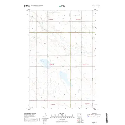
2017 Map of Flora SE
USGS Topo · Published 2017About this map
The Sheyenne River meanders through this portion of the northern Great Plains, cutting a distinct valley through the prairie landscape where Benson Co, Eddy Co, and Wells Co converge. The terrain is defined by a dense network of glacial potholes and small wetlands, characteristic of the Drift Prairie region. These numerous water bodies are scattered across the township sections, creating a complex drainage pattern that feeds toward the river valley.
Find a feature on this map
20 named features on this map. Tap any name to fly to it.
Don’t see what you’re looking for? This feature index may not catch every label — zoom into the map to look around manually.
Map Details
Editions of this 2017 Flora SE Map
This is the sole edition of this map. No revisions or reprints were ever made.
Other maps of this area

1931 · Oberon
USGS Topo · 1:62,500

1932 · Flora
USGS Topo · 1:62,500

1948 · New Rockford
USGS Topo · 1:62,500

1948 · Cathay
USGS Topo · 1:62,500

1948 · Bremen
USGS Topo · 1:24,000

1949 · Bremen
USGS Topo · 1:24,000

1949 · Munster
USGS Topo · 1:24,000

1950 · New Rockford
USGS Topo · 1:24,000

1950 · Oberon SW
USGS Topo · 1:24,000

1950 · Oberon
USGS Topo · 1:62,500