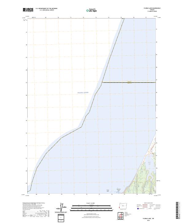
2024 Map of Floras Lake
USGS Topo · Published 2024About this map
Floras Lake sits at the edge of the Oregon coast, where the freshwater meets the saltwater of the Pacific Ocean. This coastal landscape is dominated by the Oregon Islands National Wildlife Refuge and the Oregon Islands Wilderness, preserving a shoreline where geological features like Blacklock Point and Tower Rock jut into the surf. The transition between Coos County and Curry County is marked along this rugged strip of shoreline, offering a look at the modern coastal boundaries. The presence of the 1802 New River Trl indicates the area's established recreational and historical paths, winding through the wetlands and dunes that characterize the land east of the ocean bluffs.
Find a feature on this map
9 named features on this map. Tap any name to fly to it.
Don’t see what you’re looking for? This feature index may not catch every label — zoom into the map to look around manually.
Map Details
Editions of this 2024 Floras Lake Map
This is the sole edition of this map. No revisions or reprints were ever made.
Other maps of this area

1896 · Coos Bay
USGS Topo · 1:125,000

1898 · Coos Bay
USGS Topo · 1:125,000

1899 · Port Orford
USGS Topo · 1:125,000

1900 · Coos Bay
USGS Topo · 1:125,000

1903 · Port Orford
USGS Topo · 1:125,000

1943 · Bandon
USGS Topo · 1:62,500

1944 · Bandon
USGS Topo · 1:62,500

1954 · Coos Bay
USGS Topo · 1:250,000

1954 · Cape Blanco
USGS Topo · 1:62,500

1954 · Langlois
USGS Topo · 1:62,500