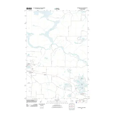
2011 Map of Florence East
USGS Topo · Published 2011About this map
Florence and the neighboring settlements of Commonwealth and Hematite anchor this 2011 survey, reflecting the area's transition from its iron-mining roots to a focus on its diverse waterways. The geography is defined by the complex confluence of the Michigamme River, Brule River, and Menominee River, which carve through the terrain near the Wisconsin-Michigan border. Local history is preserved at Woodlawn Cemetery and Saint Marys Cemetery, while the Buckeye Lookout Tower stands as a landmark on the higher ground southwest of the main town sites.
Find a feature on this map
84 named features on this map. Tap any name to fly to it.
Don’t see what you’re looking for? This feature index may not catch every label — zoom into the map to look around manually.
Map Details
Editions of this 2011 Florence East Map
This is the sole edition of this map. No revisions or reprints were ever made.
Other maps of this area

1899 · Sagola
USGS Topo · 1:62,500

1899 · Crystal Falls
USGS Topo · 1:62,500

1939 · Iron Mountain
USGS Topo · 1:48,000

1941 · Florence
USGS Topo · 1:48,000

1941 · Iron Mountain
USGS Topo · 1:48,000

1944 · Crystal Falls
USGS Topo · 1:24,000

1946 · Crystal Falls
USGS Topo · 1:31,680

1947 · Iron Mountain
USGS Topo · 1:48,000

1947 · Stager
USGS Topo · 1:24,000

1947 · Lake Mary
USGS Topo · 1:24,000