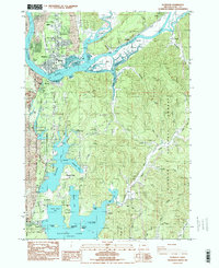
1984 Map of Florence
USGS Topo · Published 1984About this map
Florence sits at the confluence of the Siuslaw River and the Pacific, serving as a hub of coastal activity in the mid-1980s. The landscape is defined by the significant presence of water and wetlands, from the winding channels of North Slough and South Slough to the expansive Woahink Lake and Siltcoos Lake further south. The Southern Pacific railroad follows the river's path, connecting small river settlements like Cushman and Acme.
Find a feature on this map
74 named features on this map. Tap any name to fly to it.
Don’t see what you’re looking for? This feature index may not catch every label — zoom into the map to look around manually.
Map Details
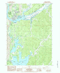
Editions of this 1984 Florence Map
2 editions found
Other maps of this area

1918 · Mapleton
USGS Topo · 1:48,000

1919 · Earl
USGS Topo · 1:48,000

1920 · Siltcoos Lake
USGS Topo · 1:62,500

1920 · Heceta Head
USGS Topo · 1:62,500

1940 · Mapleton
USGS Topo · 1:62,500

1941 · Siltcoos Lake
USGS Topo · 1:62,500

1942 · Heceta Head
USGS Topo · 1:62,500

1942 · Siltcoos Lake
USGS Topo · 1:62,500

1943 · Goodwin Peak
USGS Topo · 1:62,500

1945 · Mapleton
USGS Topo · 1:62,500