2023 Map of Florence
USGS Topo · Published 2023About this map
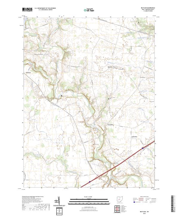
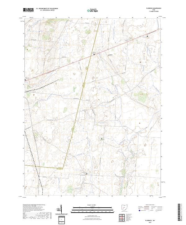
Florence sits within a landscape defined by an intricate network of agricultural drainage and headwater streams in Madison County. The terrain is marked by the Clark Co Madison Co boundary line, which cuts diagonally across the westward-flowing waters of the Little Miami River and the southern reaches of Sugar Creek. This map reveals a high density of rural burial sites, including the Saint Charles Cem, Williams Chapel Cem, and the Infirmary Cem, providing essential points of interest for genealogists tracing local families.
Find a feature on this map
56 named features on this map. Tap any name to fly to it.
Don’t see what you’re looking for? This feature index may not catch every label — zoom into the map to look around manually.
Map Details
Editions of this 2023 Florence Map
This is the sole edition of this map. No revisions or reprints were ever made.
Historical Maps of Paint Township Through Time
6 maps found