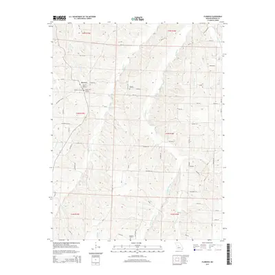
2015 Map of Florence
USGS Topo · Published 2015About this map
Florence serves as the primary settlement hub for this region of Morgan County, situated where Brushy Br and Little Br feed into the broader drainage system. The community's history is written in its clustered burial grounds, including the Florence Union Cemetery, the Methodist Cemetery, and the United Church Of Christ Cemetery. This concentrated group of cemeteries suggests a deep-rooted multi-denominational heritage within the town center.
Find a feature on this map
60 named features on this map. Tap any name to fly to it.
Don’t see what you’re looking for? This feature index may not catch every label — zoom into the map to look around manually.
Map Details
Editions of this 2015 Florence Map
This is the sole edition of this map. No revisions or reprints were ever made.
Other maps of this area

1887 · Sedalia
USGS Topo · 1:125,000

1887 · Warsaw
USGS Topo · 1:125,000

1888 · Versailles
USGS Topo · 1:125,000

1888 · Boonville
USGS Topo · 1:125,000

1893 · Versailles
USGS Topo · 1:125,000

1894 · Warsaw
USGS Topo · 1:125,000

1894 · Sedalia
USGS Topo · 1:125,000

1904 · Gravois Mills
USGS Topo · 1:62,500

1947 · Jefferson City
USGS Topo · 1:250,000

1949 · Gravois Mills
USGS Topo · 1:62,500