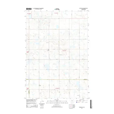
2015 Map of Florence NW
USGS Topo · Published 2015About this map
Coteau des Prairies defines the geography of this 2015 study, illustrating the glacial highland's characteristic wetland and prairie landscape along the intersection of Day, Codington, and Clark counties. The map captures a largely rural, sectioned grid of agricultural land and numerous small potholes and basins typical of this upland plateau. Local genealogy and history are preserved through the identification of three specific burial sites: Saint Pauli Lutheran Cem, Wheatland Cem, and Goodhue Cem. The drainage patterns and road infrastructure, such as 154th St and 437th Ave, demonstrate the enduring township-and-range settlement pattern that has persisted in this part of South Dakota for generations.
Find a feature on this map
29 named features on this map. Tap any name to fly to it.
Don’t see what you’re looking for? This feature index may not catch every label — zoom into the map to look around manually.
Map Details
Editions of this 2015 Florence NW Map
This is the sole edition of this map. No revisions or reprints were ever made.
Other maps of this area

1953 · Milbank
USGS Topo · 1:250,000

1958 · Milbank
USGS Topo · 1:250,000

1970 · Waubay
USGS Topo · 1:24,000

1970 · Florence NE
USGS Topo · 1:24,000

1970 · Waubay SW
USGS Topo · 1:24,000

1973 · Florence
USGS Topo · 1:24,000

1973 · Webster
USGS Topo · 1:24,000

1973 · Swan Lake
USGS Topo · 1:24,000

1973 · Florence NW
USGS Topo · 1:24,000

1973 · Wallace
USGS Topo · 1:24,000