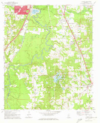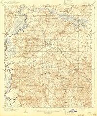
1908 Map of Florence
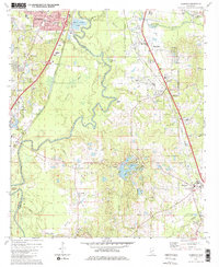
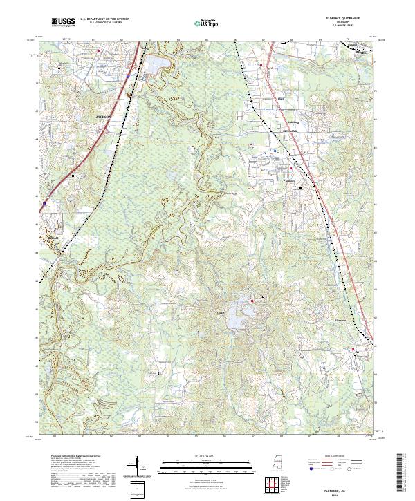
USGS Topo · Published 1942About this map
The Pearl River forms a winding western boundary for this central Mississippi landscape, where the Gulf and Ship Island RR anchors the inland settlement of Florence. Surveyed in the first decade of the 1900s, the map reveals a rural society structured around local community hubs like Briar Hill Church and the Hickory Ridge School. To the north, the Alabama and Vicksburg RR skirts a State Farm near Pearson, while the southern reaches transition into the rolling terrain of Star and Thomasville. Geographers J.W. Bagley and T.H. Moncure recorded a network of creeks—such as Steen Creek and Richland Creek—that dictated the placement of early homesteads and crossroads. This era of Rankin County history is marked by a high density of named rural institutions, including Enoch Grove Church and the Poplar Springs Church, providing valuable data for genealogists tracing family locations before mid-century infrastructure changes.
Find a feature on this map
70 named features on this map. Tap any name to fly to it.
Don’t see what you’re looking for? This feature index may not catch every label — zoom into the map to look around manually.
Map Details
Editions of this 1908 Florence Map
2 editions found

Historical Maps of Jackson Through Time
9 maps found