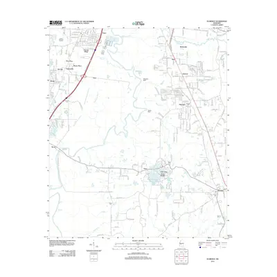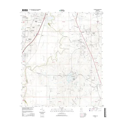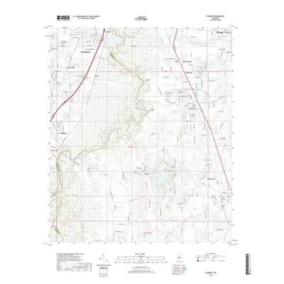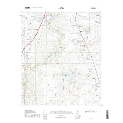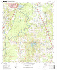
1980 Map of Florence
USGS Topo · Published 1980About this map
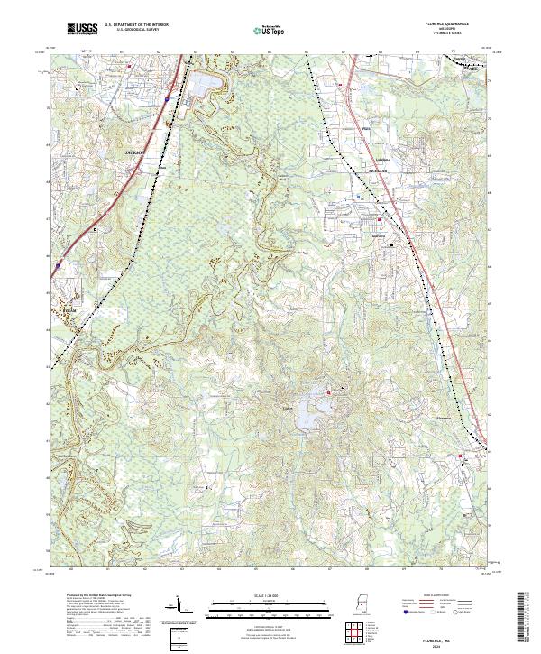
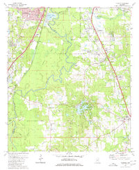
The winding Pearl River forms the natural boundary between Hinds and Rankin counties in this 1980 survey of the Mississippi central corridor. The landscape is characterized by a mix of established rural settlements and burgeoning suburban infrastructure south of Jackson. Large industrial footprints, such as the numerous sandpits and sewage disposal ponds, illustrate the regional growth of the era. Historical community hubs are visible through dual-purpose institutions like the Sykes Sch & Ch and Robert E Lee Sch & Ch, which served as both religious and educational centers.
Find a feature on this map
41 named features on this map. Tap any name to fly to it.
Don’t see what you’re looking for? This feature index may not catch every label — zoom into the map to look around manually.
Map Details
Editions of this 1980 Florence Map
2 editions found
Historical Maps of Jackson Through Time
9 maps found