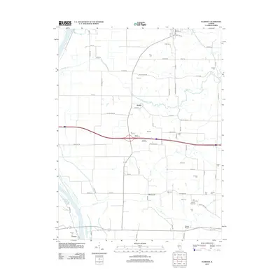
2012 Map of Florence
USGS Topo · Published 2012About this map
The Illinois River corridor near the settlement of Florence is defined by its low-lying bottomlands and a network of named cemeteries that mark the local genealogy of Scott County. This 2012 survey shows a landscape heavily influenced by its hydrology, where Ferry Lake and Jack Ellis Lake sit tucked near the riverbanks, and several creeks including Mauvaise Terre Cr, Plum Cr, and Walnut Cr drain toward the larger waterway. The distribution of family-named burial grounds, such as the Mitchell Family Cem, Ellis Family Cem, and Holloway Walker Cem, suggests a deeply rooted community where family landholdings have persisted for generations.
Find a feature on this map
79 named features on this map. Tap any name to fly to it.
Don’t see what you’re looking for? This feature index may not catch every label — zoom into the map to look around manually.
Map Details
Editions of this 2012 Florence Map
This is the sole edition of this map. No revisions or reprints were ever made.
Other maps of this area

1924 · Winchester
USGS Topo · 1:48,000

1924 · Griggsville
USGS Topo · 1:62,500

1926 · Griggsville
USGS Topo · 1:62,500

1926 · Winchester
USGS Topo · 1:62,500

1928 · Meredosia
USGS Topo · 1:62,500

1929 · Arenzville
USGS Topo · 1:62,500

1931 · Meredosia
USGS Topo · 1:62,500

1932 · Arenzville
USGS Topo · 1:62,500

1948 · Quincy
USGS Topo · 1:250,000

1956 · Quincy
USGS Topo · 1:250,000