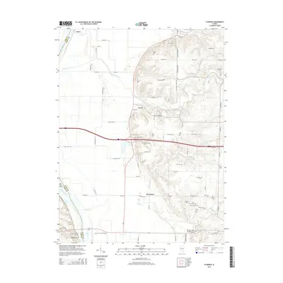
2015 Map of Florence
USGS Topo · Published 2015About this map
The Illinois River corridor in Scott County is defined by its deep genealogical roots, with an exceptional density of family burial grounds and small community cemeteries. From the Hill-Crest Cem near Oxville to the Holloway-Walker Cem and Ellis Family Cem further south, the map serves as a detailed record of early settler footprints. The terrain transitions from the river bottomlands, featuring Jack Ellis Lake and Ferry Lake, to the elevated bluffs where Browns Mound stands. This transition is carved by winding waterways like Mauvaise Terre Creek and Walnut Cr. The settlement pattern follows these natural contours, with the town of Naples anchored in the north and Florence in the southwest. A complex network of rural roads, including Apple Pie Ridge Rd and Rattlesnake Hollow Rd, connects these remote hamlets across the dissected landscape.
Find a feature on this map
85 named features on this map. Tap any name to fly to it.
Don’t see what you’re looking for? This feature index may not catch every label — zoom into the map to look around manually.
Map Details
Editions of this 2015 Florence Map
This is the sole edition of this map. No revisions or reprints were ever made.
Other maps of this area

1924 · Winchester
USGS Topo · 1:48,000

1924 · Griggsville
USGS Topo · 1:62,500

1926 · Griggsville
USGS Topo · 1:62,500

1926 · Winchester
USGS Topo · 1:62,500

1928 · Meredosia
USGS Topo · 1:62,500

1929 · Arenzville
USGS Topo · 1:62,500

1931 · Meredosia
USGS Topo · 1:62,500

1932 · Arenzville
USGS Topo · 1:62,500

1948 · Quincy
USGS Topo · 1:250,000

1956 · Quincy
USGS Topo · 1:250,000