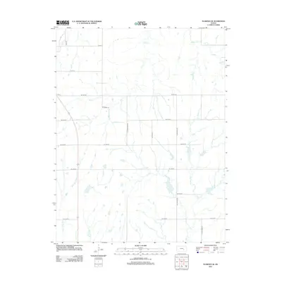
2012 Map of Florence SE
USGS Topo · Published 2012About this map
The W Br Walnut River drainage system dominates this agricultural landscape in Butler County, where a grid of rural section roads divides the prairie. These routes, often bearing the names of the waterways they parallel or intersect, such as NE Turkey Creek Rd and NE Cole Creek Rd, provide a clear view of the modern land divisions and rural infrastructure. The landscape is characterized by its network of subtle drainage basins including Turkey Cr, Bills Cr, and Middle Cr. This survey illustrates the persistence of the rectangular survey system in the 21st century, showing how contemporary transit routes like NE Bluestem Rd follow the same section lines established over a century prior. The presence of numerous small ponds and watershed features along Cole Cr highlights the region's focus on water management for ranching and agriculture.
Find a feature on this map
25 named features on this map. Tap any name to fly to it.
Don’t see what you’re looking for? This feature index may not catch every label — zoom into the map to look around manually.
Map Details
Editions of this 2012 Florence SE Map
This is the sole edition of this map. No revisions or reprints were ever made.
Other maps of this area

1888 · Eldorado
USGS Topo · 1:125,000

1898 · Cottonwood Falls
USGS Topo · 1:125,000

1955 · Wichita
USGS Topo · 1:250,000

1955 · Hutchinson
USGS Topo · 1:250,000

1957 · Florence
USGS Topo · 1:24,000

1957 · Wonsevu
USGS Topo · 1:24,000

1958 · Wichita
USGS Topo · 1:250,000

1959 · Hutchinson
USGS Topo · 1:250,000

1961 · De Graff
USGS Topo · 1:24,000

1961 · El Dorado NW
USGS Topo · 1:24,000