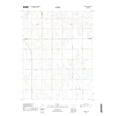
2018 Map of Florence SE
USGS Topo · Published 2018About this map
W Br Walnut River and its accompanying tributaries define the drainage patterns across this section of the Flint Hills, where the borders of Butler, Marion, and Chase counties converge. The landscape is primarily shaped by the winding courses of Turkey Cr, Bills Cr, and Middle Cr, which cut through the undulating terrain of townships T22S and T23S. A strictly rectangular grid of section lines and rural routes, such as NE Bluestem Rd and NE Turkey Creek Rd, organizes the vast agricultural and grazing lands that dominate the area.
Find a feature on this map
37 named features on this map. Tap any name to fly to it.
Don’t see what you’re looking for? This feature index may not catch every label — zoom into the map to look around manually.
Map Details
Editions of this 2018 Florence SE Map
This is the sole edition of this map. No revisions or reprints were ever made.
Other maps of this area

1888 · Eldorado
USGS Topo · 1:125,000

1898 · Cottonwood Falls
USGS Topo · 1:125,000

1955 · Wichita
USGS Topo · 1:250,000

1955 · Hutchinson
USGS Topo · 1:250,000

1957 · Florence
USGS Topo · 1:24,000

1957 · Wonsevu
USGS Topo · 1:24,000

1958 · Wichita
USGS Topo · 1:250,000

1959 · Hutchinson
USGS Topo · 1:250,000

1961 · De Graff
USGS Topo · 1:24,000

1961 · El Dorado NW
USGS Topo · 1:24,000