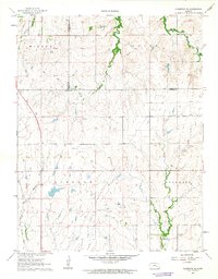
1962 Map of Florence SE
USGS Topo · Published 1963About this map
The Walnut River and its tributary West Branch converge in this prairie landscape, defining the topography of eastern Butler and Chase counties. By the early 1960s, the land reflects a pattern of agricultural division and light industrial extraction, notably evidenced by an Oil Well situated south of the section lines. The drainage network is dense, with Turkey Creek, Middle Creek, and Bills Creek cutting through the terrain and feeding the larger river system.
Find a feature on this map
15 named features on this map. Tap any name to fly to it.
Don’t see what you’re looking for? This feature index may not catch every label — zoom into the map to look around manually.
Map Details
Editions of this 1962 Florence SE Map
This is the sole edition of this map. No revisions or reprints were ever made.
Other maps of this area

1888 · Eldorado
USGS Topo · 1:125,000

1898 · Cottonwood Falls
USGS Topo · 1:125,000

1955 · Wichita
USGS Topo · 1:250,000

1955 · Hutchinson
USGS Topo · 1:250,000

1957 · Florence
USGS Topo · 1:24,000

1957 · Wonsevu
USGS Topo · 1:24,000

1958 · Wichita
USGS Topo · 1:250,000

1959 · Hutchinson
USGS Topo · 1:250,000

1961 · De Graff
USGS Topo · 1:24,000

1961 · El Dorado NW
USGS Topo · 1:24,000