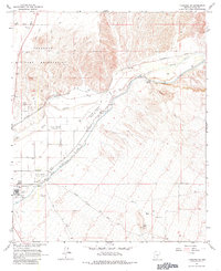
1965 Map of Florence SE
USGS Topo · Published 1985About this map
The Gila River valley in the mid-1960s was defined by a complex network of agricultural and institutional infrastructure. The State Prison and its associated outposts, including State Prison Ranch No 1, State Prison Ranch No 2, and State Prison Ranch No 3, occupy much of the central corridor. This arrangement suggests a landscape where labor and land management were closely tied to state operations and the irrigation systems fed by the Diversion Dam.
Find a feature on this map
28 named features on this map. Tap any name to fly to it.
Don’t see what you’re looking for? This feature index may not catch every label — zoom into the map to look around manually.
Map Details
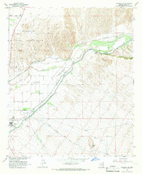
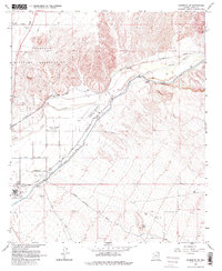
Editions of this 1965 Florence SE Map
3 editions found
Other maps of this area

1900 · Florence
USGS Topo · 1:125,000

1902 · Florence
USGS Topo · 1:125,000

1922 · Red Rock No 2
USGS Topo · 1:48,000

1934 · Newman Peak
USGS Topo · 1:125,000

1954 · Mesa
USGS Topo · 1:250,000

1956 · Magma
USGS Topo · 1:24,000

1956 · Tucson
USGS Topo · 1:250,000

1957 · Mesa
USGS Topo · 1:250,000

1958 · Mesa
USGS Topo · 1:250,000

1958 · Tucson
USGS Topo · 1:250,000