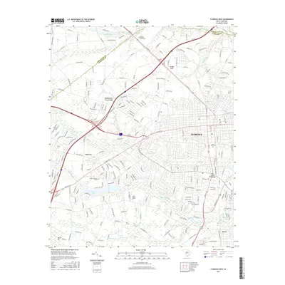
2017 Map of Florence West
USGS Topo · Published 2017About this map
Florence and its western outskirts appear in this contemporary 2017 survey, showing the continued expansion of this South Carolina transit and educational hub. The landscape is characterized by a mix of established residential neighborhoods and commercial corridors, with significant educational infrastructure such as the Florence Darlington Technical College in the north and the nearby North Gate area. Several cemeteries and memorial sites, including Mount Hope Cemetery, Florence Memorial Gardens, and Sunset Memory Gardens, are well-defined across the terrain, offering valuable points of reference for local family researchers.
Find a feature on this map
205 named features on this map. Tap any name to fly to it.
Don’t see what you’re looking for? This feature index may not catch every label — zoom into the map to look around manually.
Map Details
Editions of this 2017 Florence West Map
This is the sole edition of this map. No revisions or reprints were ever made.
Other maps of this area

1940 · Florence West
USGS Topo · 1:62,500

1940 · Florence East
USGS Topo · 1:62,500

1943 · Gum Swamp
USGS Topo · 1:62,500

1945 · Florence East
USGS Topo · 1:62,500

1945 · Florence West
USGS Topo · 1:62,500

1953 · Florence
USGS Topo · 1:250,000

1954 · Florence
USGS Topo · 1:250,000

1963 · Darlington East
USGS Topo · 1:24,000

1963 · Darlington West
USGS Topo · 1:24,000
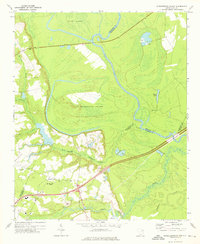
1972 · Witherspoon Island
USGS Topo · 1:24,000