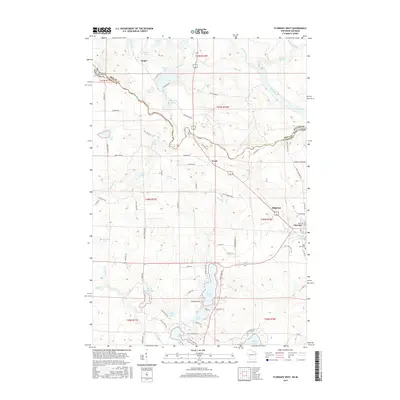
2015 Map of Florence West
USGS Topo · Published 2015About this map
The Michigan-Wisconsin border runs through this northwoods landscape, following the winding course of the Brule River and the Paint River. This border region is defined by a dense network of glacial lakes and small settlements that historically supported the timber and mining industries of the Upper Peninsula and Northeast Wisconsin. The town of Florence sits near the southeastern corner, serving as a hub near the Saint Marys Cem and the waters of Fisher Lake.
Find a feature on this map
85 named features on this map. Tap any name to fly to it.
Don’t see what you’re looking for? This feature index may not catch every label — zoom into the map to look around manually.
Map Details
Editions of this 2015 Florence West Map
This is the sole edition of this map. No revisions or reprints were ever made.
Other maps of this area

1899 · Sagola
USGS Topo · 1:62,500

1899 · Crystal Falls
USGS Topo · 1:62,500

1939 · Iron Mountain
USGS Topo · 1:48,000

1941 · Florence
USGS Topo · 1:48,000

1941 · Iron Mountain
USGS Topo · 1:48,000

1944 · Crystal Falls
USGS Topo · 1:24,000

1944 · Fortune Lakes
USGS Topo · 1:24,000

1946 · Crystal Falls
USGS Topo · 1:31,680

1946 · Fortune Lakes
USGS Topo · 1:31,680

1947 · Naults
USGS Topo · 1:24,000