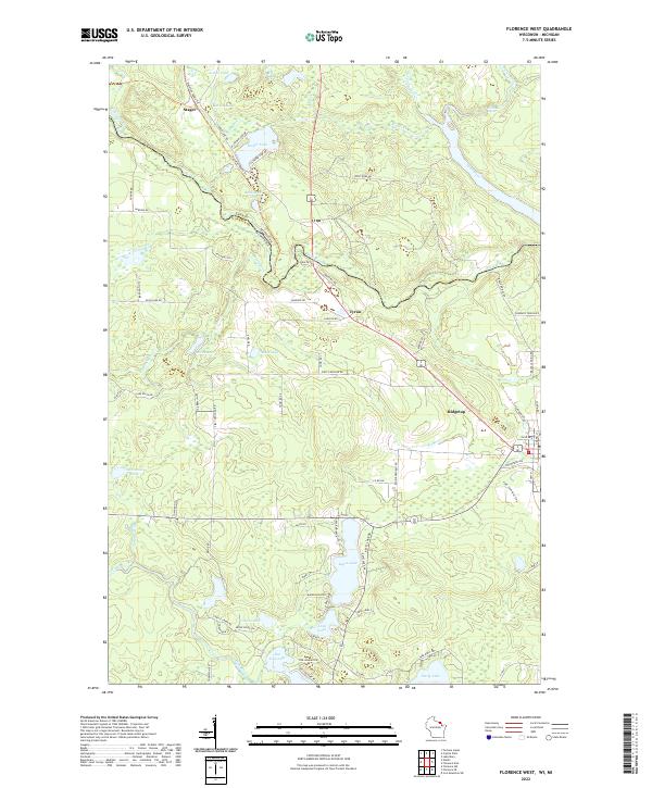
2022 Map of Florence West
USGS Topo · Published 2022About this map
The Brule River and Paint River dominate this borderland landscape, where the state line between Wisconsin and Michigan meets the boundary of Florence and Iron Counties. The settlement of Stager sits at the northern edge of this hydrographic network, which includes the dramatic Horseshoe Rapids and several small, distinct water bodies like Dead Mans Lake. To the south, the terrain transitions into a more settled recreation and residential area concentrated around Keyes Lake and Sea Lion Lake. The presence of small community hubs like Tyran and Ridgetop reflects the regional development pattern, where local life is oriented toward the numerous lakes and the winding paths of Sevenmile Cr and Fisher Cr. The map captures a moment of modern connectivity through local routes such as Harding Rd and Stateline Route Trl, providing a clear view of the area's contemporary geography and land use.
Find a feature on this map
61 named features on this map. Tap any name to fly to it.
Don’t see what you’re looking for? This feature index may not catch every label — zoom into the map to look around manually.
Map Details
Editions of this 2022 Florence West Map
This is the sole edition of this map. No revisions or reprints were ever made.
Other maps of this area

1899 · Sagola
USGS Topo · 1:62,500

1899 · Crystal Falls
USGS Topo · 1:62,500

1939 · Iron Mountain
USGS Topo · 1:48,000

1941 · Florence
USGS Topo · 1:48,000

1941 · Iron Mountain
USGS Topo · 1:48,000

1944 · Crystal Falls
USGS Topo · 1:24,000

1944 · Fortune Lakes
USGS Topo · 1:24,000

1946 · Crystal Falls
USGS Topo · 1:31,680

1946 · Fortune Lakes
USGS Topo · 1:31,680

1947 · Naults
USGS Topo · 1:24,000