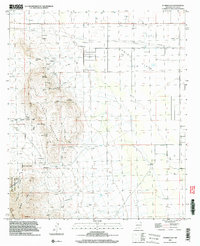
1996 Map of Florida Gap
USGS Topo · Published 2003About this map
The Florida Mountains dominate this landscape, rising sharply from the basin of Lewis Flats. This mid-1990s survey records a desert environment shaped by both ranching and extraction, where small-scale mining efforts like Bradley Mines and Stop Mine sit alongside established grazing lands centered on Headquarters and Kil Ranch. The industrial footprint of the era is evident in the long Pipeline corridor and a solitary Landing Strip north of the mountains.
Find a feature on this map
41 named features on this map. Tap any name to fly to it.
Don’t see what you’re looking for? This feature index may not catch every label — zoom into the map to look around manually.
Map Details
Editions of this 1996 Florida Gap Map
This is the sole edition of this map. No revisions or reprints were ever made.
Other maps of this area

1899 · Deming
USGS Topo · 1:125,000

1915 · Deming
USGS Topo · 1:125,000

1955 · Las Cruces
USGS Topo · 1:250,000

1958 · Las Cruces
USGS Topo · 1:250,000

1964 · Gym Peak
USGS Topo · 1:24,000

1964 · Florida Gap
USGS Topo · 1:24,000

1965 · South Peak
USGS Topo · 1:24,000

1965 · Deming East
USGS Topo · 1:24,000

1965 · Carne
USGS Topo · 1:24,000
1965 · Capitol Dome
USGS Topo · 1:24,000