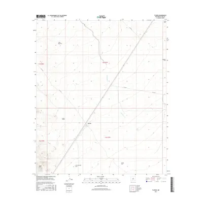
2017 Map of Florida
USGS Topo · Published 2017About this map
Cooks Spring Historic Site anchors the central landscape of this Luna County quadrangle, situated near the small settlement of Florida. This high-desert region is defined by a complex drainage system, where the ephemeral waters of Mule Springs Creek and Finger- Ring Draw carve through the basin. The southwestern corner of the sheet is dominated by the foothills of the Cookes Range, a prominent geological feature that forms the backdrop for Cookes Canyon. The presence of Fort Cummings Draw hints at the area's nineteenth-century frontier history, marking the proximity to old military outposts and travel routes. A network of county roads, including Co RD a019 and Co RD a021, provides modern access through the desert terrain, connecting isolated watering points like Flat Tank with the surrounding draws and canyons.
Find a feature on this map
20 named features on this map. Tap any name to fly to it.
Don’t see what you’re looking for? This feature index may not catch every label — zoom into the map to look around manually.
Map Details
Editions of this 2017 Florida Map
This is the sole edition of this map. No revisions or reprints were ever made.
Other maps of this area

1899 · Deming
USGS Topo · 1:125,000

1915 · Deming
USGS Topo · 1:125,000

1955 · Las Cruces
USGS Topo · 1:250,000

1958 · Las Cruces
USGS Topo · 1:250,000

1961 · Nutt
USGS Topo · 1:62,500

1962 · Lake Valley
USGS Topo · 1:62,500

1964 · Florida
USGS Topo · 1:24,000

1964 · Massacre Peak
USGS Topo · 1:24,000

1965 · Deming East
USGS Topo · 1:24,000

1965 · Carne
USGS Topo · 1:24,000