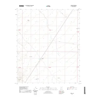
2020 Map of Florida
USGS Topo · Published 2020About this map
Cooks Spring Historic Site marks a critical point of human activity within this arid Luna County landscape, situated near the small settlement of Florida. This region is defined by its dramatic drainage patterns, where seasonal runoff has carved numerous distinct channels such as Finger- Ring Draw, China Draw, and Chandler Draw. The rugged topography of the Cookes Range gives way to the deep cut of Cookes Canyon, a corridor of historical significance for travelers in the Southwest. The map reveals a land managed for water and transit, with drainage from Mule Springs Creek and Fort Cummings Draw providing evidence of the natural routes that dictated early settlement and movement. Local landmarks like Flat Tank and Hadley Draw further illustrate how the geography of the high desert shaped the lives of those who worked and passed through this territory.
Find a feature on this map
22 named features on this map. Tap any name to fly to it.
Don’t see what you’re looking for? This feature index may not catch every label — zoom into the map to look around manually.
Map Details
Editions of this 2020 Florida Map
This is the sole edition of this map. No revisions or reprints were ever made.
Other maps of this area

1899 · Deming
USGS Topo · 1:125,000

1915 · Deming
USGS Topo · 1:125,000

1955 · Las Cruces
USGS Topo · 1:250,000

1958 · Las Cruces
USGS Topo · 1:250,000

1961 · Nutt
USGS Topo · 1:62,500

1962 · Lake Valley
USGS Topo · 1:62,500

1964 · Florida
USGS Topo · 1:24,000

1964 · Massacre Peak
USGS Topo · 1:24,000

1965 · Deming East
USGS Topo · 1:24,000

1965 · Carne
USGS Topo · 1:24,000