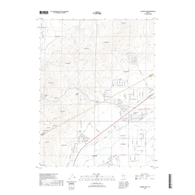
2018 Map of Flowery Peak
USGS Topo · Published 2018About this map
Dayton anchors the southern portion of this landscape where the Carson River flows past the Carson Plains. This area is defined by its deep connection to the Comstock Lode era, most notably through the presence of the Sutro Tunnel and the settlement of Sutro. The terrain transitions sharply from the heights of the Flowery Range and Virginia Range down to the arid expanse of the Twelve Mile Desert. Water management is evident in the complex system of irrigation, including the Upper Cardelli Ditch, Koch Ditch, and Gee Ditch, which support activity along the river valley. Numerous peaks such as Flowery Peak, Emma Peak, and Mt Grosh dominate the northern and western horizons, while drainage systems like Sixmile Canyon and Gold Canyon cut through the high ground, marking the historic paths of travel and resource extraction in Lyon County.
Find a feature on this map
134 named features on this map. Tap any name to fly to it.
Don’t see what you’re looking for? This feature index may not catch every label — zoom into the map to look around manually.
Map Details
Editions of this 2018 Flowery Peak Map
This is the sole edition of this map. No revisions or reprints were ever made.
Other maps of this area

1891 · Carson
USGS Topo · 1:125,000

1891 · Wabuska
USGS Topo · 1:125,000

1893 · Carson
USGS Topo · 1:125,000

1894 · Wabuska
USGS Topo · 1:125,000

1950 · Virginia City
USGS Topo · 1:62,500

1952 · Virginia City
USGS Topo · 1:62,500

1956 · Dayton
USGS Topo · 1:62,500

1957 · Como
USGS Topo · 1:62,500

1957 · Churchill Butte
USGS Topo · 1:62,500

1957 · Reno
USGS Topo · 1:250,000