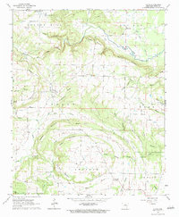
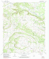
1963 Map of Floyd
USGS Topo · Published 1984About this map
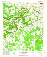
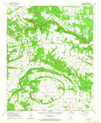
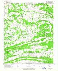
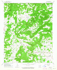
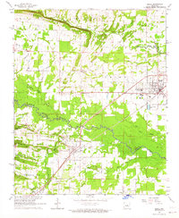
Floyd stands at the center of this 1963 survey, a rural White County settlement defined by its network of local roads and prominent ridge lines. The landscape is heavily marked by small-scale community features, including the Pleasant Grove Ch and various family or local burial sites like Quattlebaum Cem and Gray Cem. The topography is dominated by several distinct peaks and ridges, such as Dugout Mountain and Wardon Mountain, which channel the flow of numerous waterways like Bayou des Arc and Little Bull Creek.
Find a feature on this map
60 named features on this map. Tap any name to fly to it.
Don’t see what you’re looking for? This feature index may not catch every label — zoom into the map to look around manually.
Map Details
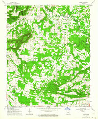
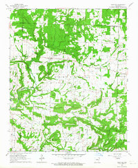
Editions of this 1963 Floyd Map
3 editions found
Other maps of this area

1953 · Memphis
USGS Topo · 1:250,000

1956 · Memphis
USGS Topo · 1:250,000

1956 · Russellville
USGS Topo · 1:250,000
1962 · Letona
USGS Topo · 1:24,000
1963 · Rose Bud
USGS Topo · 1:24,000
1963 · Garner
USGS Topo · 1:24,000
1963 · Floyd
USGS Topo · 1:24,000
1963 · Mount Vernon
USGS Topo · 1:24,000
1963 · Sidon
USGS Topo · 1:24,000
1963 · Beebe
USGS Topo · 1:24,000