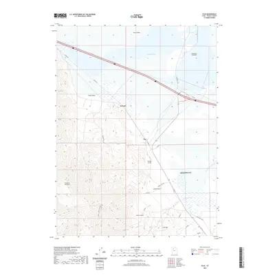
2020 Map of Flux
USGS Topo · Published 2020About this map
Grantsville and the industrial outposts of Dolomite and Flux define the interface between the Stansbury Mountains and the arid floor of the Tooele Valley. This modern topographical study captures the complex geography of the northern Great Salt Lake basin, where the high peaks of Miners Canyon and Kimball Canyon descend toward the wetlands of Warm Springs Slough and Stansbury Bay. The map highlights a significant transportation corridor, featuring the historic Old Lincoln Hwy and the Kimball Canyon Mining Rd, reflecting the region's long-standing connection to both transcontinental travel and local extraction. The northern edge of the map is dominated by the Stansbury Island Bar and the open expanses of Timpie Valley, illustrating the unique hydrological and geological character of this Utah landscape.
Find a feature on this map
22 named features on this map. Tap any name to fly to it.
Don’t see what you’re looking for? This feature index may not catch every label — zoom into the map to look around manually.
Map Details
Editions of this 2020 Flux Map
This is the sole edition of this map. No revisions or reprints were ever made.
Other maps of this area

1885 · Tooele Valley
USGS Topo · 1:250,000

1953 · Tooele
USGS Topo · 1:250,000

1955 · Timpie
USGS Topo · 1:62,500

1955 · Burmester
USGS Topo · 1:24,000

1955 · Grantsville
USGS Topo · 1:24,000

1955 · Tooele
USGS Topo · 1:250,000

1968 · Poverty Point
USGS Topo · 1:24,000

1968 · Corral Canyon
USGS Topo · 1:24,000
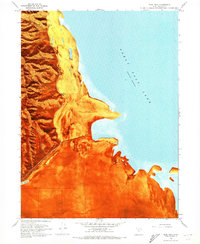
1968 · Plug Peak
USGS Topo · 1:24,000
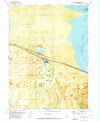
1972 · Burmester
USGS Topo · 1:24,000