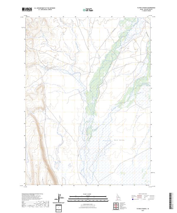
2023 Map of Flying H Ranch
USGS Topo · Published 2023About this map
Duck Valley dominates the central and eastern portions of this Owyhee County landscape, where complex drainage networks define the terrain. The intermittent flow of Blue Creek serves as a primary arterial through the valley floor, joined by tributaries including Shoofly Creek and Payne Creek. These waterways suggest a landscape managed for cattle and land use, characteristic of this remote Idaho high desert region. Sparse infrastructure is represented by Point Lock Rd and Battle Creek Rd, which provide access to the expansive range land. The map also identifies 902 Bia, indicating federal Bureau of Indian Affairs road management in this corner of the state. Surveyed in 2023, the sheet documents the modern boundaries of townships like t14s r2e and t14s r3e within the rugged drainage basins of Harris Creek and Sage Hen Creek.
Find a feature on this map
15 named features on this map. Tap any name to fly to it.
Don’t see what you’re looking for? This feature index may not catch every label — zoom into the map to look around manually.
Map Details
Editions of this 2023 Flying H Ranch Map
2 editions found
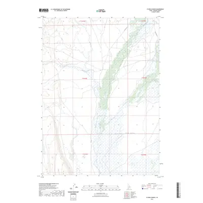
Other maps of this area

1955 · Jordan Valley
USGS Topo · 1:250,000

1957 · Jordan Valley
USGS Topo · 1:250,000

1958 · Jordan Valley
USGS Topo · 1:250,000

1971 · Juniper Basin SE
USGS Topo · 1:24,000
1971 · Flying H Ranch
USGS Topo · 1:24,000
1971 · Three Forks
USGS Topo · 1:24,000
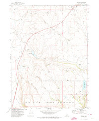
1971 · Riddle
USGS Topo · 1:24,000
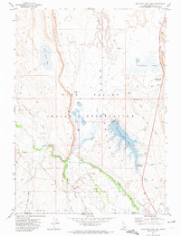
1971 · Mountain View Lake
USGS Topo · 1:24,000

1971 · Ross Lake
USGS Topo · 1:24,000

1972 · Little Blue Table
USGS Topo · 1:24,000