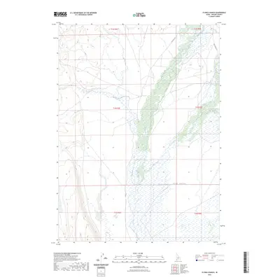
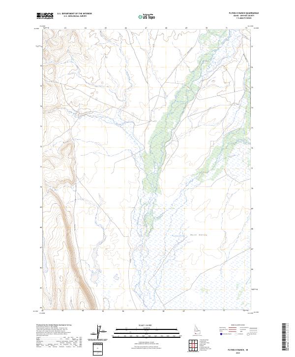
2023 Map of Flying H Ranch
USGS Topo · Published 2023About this map
Duck Valley characterizes this high-elevation corner of Owyhee County, where a complex network of seasonal drainages and creek beds defines the remote Idaho landscape. The prominent corridor of Blue Creek serves as a central artery through the quadrangle, flanked by numerous tributaries including Payne Creek and Shoofly Creek. Unlike more developed regions, this area is defined by its isolation and topographical shifts, with drainage patterns flowing northward toward the distant Snake River plain.
Find a feature on this map
14 named features on this map. Tap any name to fly to it.
Don’t see what you’re looking for? This feature index may not catch every label — zoom into the map to look around manually.
Map Details
Editions of this 2023 Flying H Ranch Map
2 editions found
Other maps of this area

1955 · Jordan Valley
USGS Topo · 1:250,000

1957 · Jordan Valley
USGS Topo · 1:250,000

1958 · Jordan Valley
USGS Topo · 1:250,000

1971 · Juniper Basin SE
USGS Topo · 1:24,000
1971 · Flying H Ranch
USGS Topo · 1:24,000
1971 · Three Forks
USGS Topo · 1:24,000
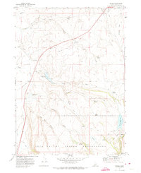
1971 · Riddle
USGS Topo · 1:24,000
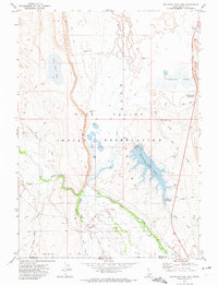
1971 · Mountain View Lake
USGS Topo · 1:24,000

1971 · Ross Lake
USGS Topo · 1:24,000

1972 · Little Blue Table
USGS Topo · 1:24,000