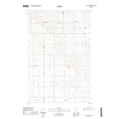
2020 Map of Flynn Creek North
USGS Topo · Published 2020About this map
Flynn Cr and its tributaries, including the E Fork Flynn Cr, carve through this section of the Missouri River plateau along the boundary of Valley and Roosevelt counties. The landscape is defined by the sharp incisions of Badger Hole Coulee and Littleman Cr, revealing the intricate drainage patterns that lead toward the Milk and Missouri river systems. In this rural expanse, the mapping of remote water sources like 29N45E26DCD001 Spring and 29N45E36BAA001 Spring underscores the critical importance of reliable water in the high plains. A sparse network of gravel routes, such as Nygaard Rd and Wolf Creek Rd, provides the only modern infrastructure across these vast township sections, marking a region where land use remains primarily tied to open-range geography.
Find a feature on this map
20 named features on this map. Tap any name to fly to it.
Don’t see what you’re looking for? This feature index may not catch every label — zoom into the map to look around manually.
Map Details
Editions of this 2020 Flynn Creek North Map
This is the sole edition of this map. No revisions or reprints were ever made.
Other maps of this area

1910 · Todd Lakes
USGS Topo · 1:62,500

1915 · Tule Valley
USGS Topo · 1:62,500

1915 · Oswego
USGS Topo · 1:62,500

1915 · Todd Lakes
USGS Topo · 1:62,500

1916 · Wolf Point
USGS Topo · 1:62,500

1954 · Wolf Point
USGS Topo · 1:250,000

1958 · Wolf Point
USGS Topo · 1:250,000

1972 · Flynn Creek North
USGS Topo · 1:24,000

1972 · Wolf Point
USGS Topo · 1:24,000
1972 · Flynn Creek South
USGS Topo · 1:24,000