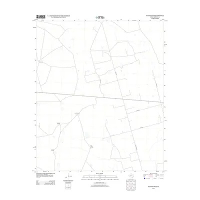
2012 Map of Flynt Ranch
USGS Topo · Published 2012About this map
Flynt Ranch anchors this portion of the West Texas landscape, where the pattern of human activity is defined by the search for water and the management of open range. The area is characterized by a network of ranching infrastructure, most notably a series of strategically placed water sources such as Tin Tub Windmill, Wheeler Windmill, and the evocative Quick Trigger Windmill. These features indicate the ongoing necessity of groundwater for livestock in the arid environment of Martin County.
Find a feature on this map
11 named features on this map. Tap any name to fly to it.
Don’t see what you’re looking for? This feature index may not catch every label — zoom into the map to look around manually.
Map Details
Editions of this 2012 Flynt Ranch Map
This is the sole edition of this map. No revisions or reprints were ever made.
Other maps of this area

1954 · Hobbs
USGS Topo · 1:250,000

1954 · Big Spring
USGS Topo · 1:250,000

1958 · Big Spring
USGS Topo · 1:250,000

1958 · Hobbs
USGS Topo · 1:250,000

1966 · Wolcott Ranch
USGS Topo · 1:24,000

1966 · Lenorah West
USGS Topo · 1:24,000

1966 · Mabee Ranch
USGS Topo · 1:24,000

1966 · Flynt Ranch
USGS Topo · 1:24,000

1966 · Flower Grove
USGS Topo · 1:24,000

1966 · Scharbauer Ranch
USGS Topo · 1:24,000