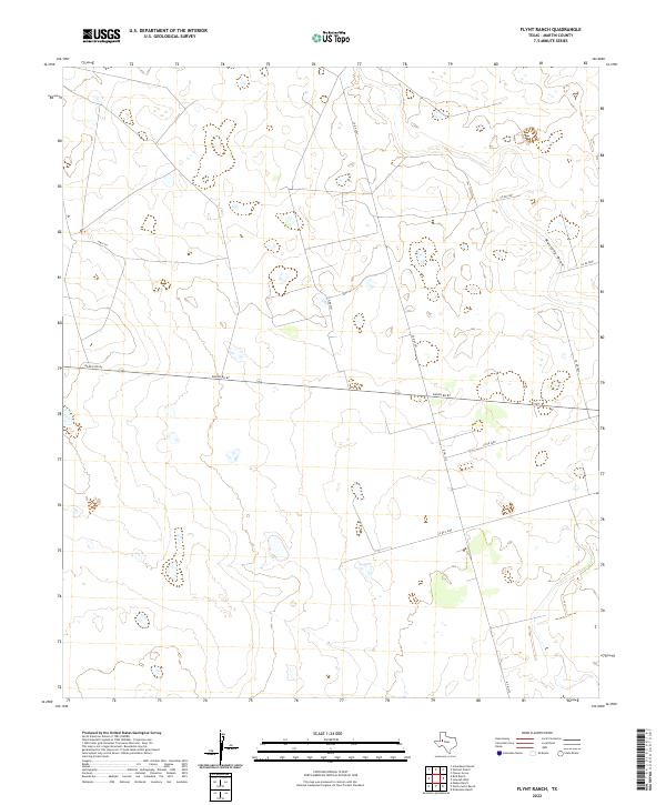
2022 Map of Flynt Ranch
USGS Topo · Published 2022About this map
Mustang Draw winds through the high plains of Martin County, serving as the primary natural drainage feature in this corner of the Llano Estacado. This 2022 survey illustrates a landscape dominated by large-scale ranching and the grid-like infrastructure of rural Texas. Major transportation corridors including Hwy 176 and Ranch Rd 87 provide the primary east-west access across the open terrain, while a network of county roads, such as Co Rd 2401 and Co Rd 3800, branch out to service the various ranch properties. The surveyor's data reflects the modern spatial organization of the region, where the vastness of the cattle country is bisected by precisely maintained state and county routes. Researchers interested in the contemporary ranching boundaries of West Texas will find the intersections of N Fm 1212 and other local connectors essential for understanding the modern footprint of these historic landholdings.
Find a feature on this map
10 named features on this map. Tap any name to fly to it.
Don’t see what you’re looking for? This feature index may not catch every label — zoom into the map to look around manually.
Map Details
Editions of this 2022 Flynt Ranch Map
This is the sole edition of this map. No revisions or reprints were ever made.
Other maps of this area

1954 · Hobbs
USGS Topo · 1:250,000

1954 · Big Spring
USGS Topo · 1:250,000

1958 · Big Spring
USGS Topo · 1:250,000

1958 · Hobbs
USGS Topo · 1:250,000

1966 · Wolcott Ranch
USGS Topo · 1:24,000

1966 · Lenorah West
USGS Topo · 1:24,000

1966 · Mabee Ranch
USGS Topo · 1:24,000

1966 · Flynt Ranch
USGS Topo · 1:24,000

1966 · Flower Grove
USGS Topo · 1:24,000

1966 · Scharbauer Ranch
USGS Topo · 1:24,000