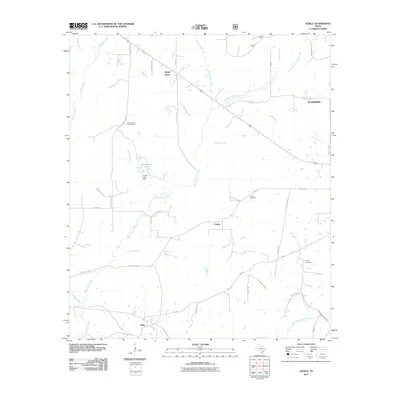
2011 Map of Fodice
USGS Topo · Published 2011About this map
Fodice and the surrounding piney woods of Houston County are defined by a complex network of creeks and rural routes in this early 21st-century study. The landscape is dominated by the sprawling drainage system of White Rock Creek, including its various branches like East Fork White Rock Creek and Little White Rock Creek. Small settlements like Shady Grove and Holly anchor the region, connected by a mix of state-maintained farm-to-market roads and local paths such as Old Grovetown Lovelady Rd. Cultural landmarks including the Fodice Cemetery and Foster Cemetery provide essential touchpoints for genealogical research in this quiet corner of East Texas. The Shady Grove Lookout Tower stands as a notable landmark overlooking the timbered terrain, while various water features like Bob Shrivers Tank reflect the local agricultural and land management practices of the era.
Find a feature on this map
46 named features on this map. Tap any name to fly to it.
Don’t see what you’re looking for? This feature index may not catch every label — zoom into the map to look around manually.
Map Details
Editions of this 2011 Fodice Map
This is the sole edition of this map. No revisions or reprints were ever made.
Other maps of this area

1950 · Crockett
USGS Topo · 1:24,000

1951 · Crockett
USGS Topo · 1:24,000

1951 · Kennard
USGS Topo · 1:24,000

1951 · Berea
USGS Topo · 1:24,000

1953 · Palestine
USGS Topo · 1:250,000

1957 · Palestine
USGS Topo · 1:250,000

1962 · Lovelady South
USGS Topo · 1:24,000

1962 · Glendale
USGS Topo · 1:24,000

1963 · Lovelady North
USGS Topo · 1:24,000

1963 · Groveton West
USGS Topo · 1:24,000