
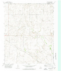
1972 Map of Follett
USGS Topo · Published 1974About this map
Follett serves as the primary hub of activity in this 1970s Texas Panhandle landscape, where the town grid meets the Atchison Topeka and Santa Fe railway. The map captures a transition where the agricultural prairie is increasingly defined by industrial development, evidenced by numerous Oil Wells, Gas Wells, and a prominent Pumping Sta. The drainage patterns of Indian Creek, Ivanhoe Creek, and Mammoth Creek carve through the terrain, providing natural landmarks in an otherwise highly structured environment of section lines and pipelines.
Find a feature on this map
14 named features on this map. Tap any name to fly to it.
Don’t see what you’re looking for? This feature index may not catch every label — zoom into the map to look around manually.
Map Details
Editions of this 1972 Follett Map
This is the sole edition of this map. No revisions or reprints were ever made.
Other maps of this area

1954 · Perryton
USGS Topo · 1:250,000

1958 · Perryton
USGS Topo · 1:250,000

1971 · Clear Lake SE
USGS Topo · 1:24,000

1971 · Logan
USGS Topo · 1:24,000

1971 · Slapout
USGS Topo · 1:24,000

1972 · Follett SE
USGS Topo · 1:24,000

1972 · Dugout Creek
USGS Topo · 1:24,000

1972 · Skunk Creek
USGS Topo · 1:24,000
1972 · Magoun
USGS Topo · 1:24,000

1972 · Darrouzett
USGS Topo · 1:24,000