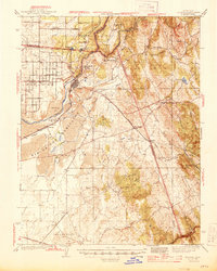
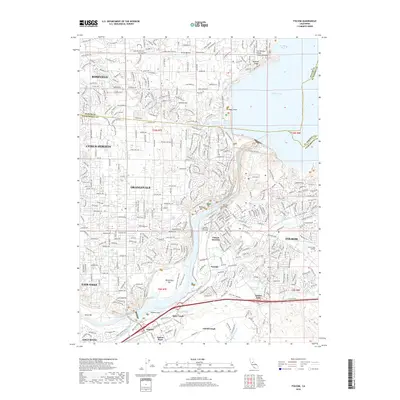
1944 Map of Folsom
USGS Topo · Published 1944About this map
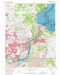
Folsom serves as the central hub of this mid-century landscape, where the confluence of the North Fork American River and South Fork American River defines the local geography. The map illustrates the industrial and institutional foundations of the region, anchored by the State Prison at Represa and the Southern Pacific railroad lines. Gold rush history remains visible through labels like Negro Hill and the Mormon Hill Mine, while the rural educational network is well-documented via numerous local institutions such as Eureka Union Sch and Mormon Island Sch. To the south and east, the terrain transitions into a series of creeks and ridges, including Deer Creek and Ben Bolt, showing the early 1940s road network through settlements like Clarksville and White Rock before the later expansion of modern reservoir systems changed the river's path.
Find a feature on this map
51 named features on this map. Tap any name to fly to it.
Don’t see what you’re looking for? This feature index may not catch every label — zoom into the map to look around manually.
Map Details
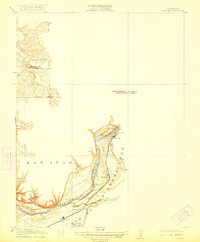
Editions of this 1944 Folsom Map
2 editions found
Historical Maps of Roseville Through Time
10 maps found
1914 Folsom
Sacramento County, CA
1941 Folsom
Sacramento County, CA

1944 Folsom
Sacramento County, CA
1954 Folsom
Sacramento County, CA
1967 Folsom
Sacramento County, CA
1975 Folsom
Sacramento County, CA
2012 Folsom
Sacramento County, CA
2015 Folsom
Sacramento County, CA
2018 Folsom
Sacramento County, CA
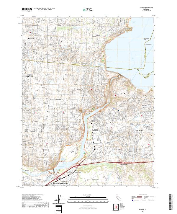
2022 Folsom
Sacramento County, CA