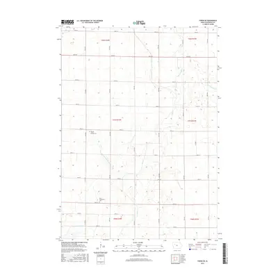
2015 Map of Fonda NE
USGS Topo · Published 2015About this map
Rural Pocahontas County is defined by a rigorous grid of section lines and drainage systems in this 2015 study. Two significant burial grounds, Elfsborg - Dover Township Cem and Saint Columbkille's Cem, provide essential anchor points for genealogists and local historians tracking family roots in Dover and Marshall townships. The landscape is a testament to the extensive engineering required to manage the prairie hydrology, where Cedar Cr and Little Cedar Cr are supplemented by artificial channels like Ditch Number 21 and Drainage Ditch Number 4. These waterways carve through the agricultural blocks, illustrating how the natural flow of the S Br-Lizard Cr watershed has been modified for modern production while preserving the historical footprints of early pioneer settlements and churchyards.
Find a feature on this map
32 named features on this map. Tap any name to fly to it.
Don’t see what you’re looking for? This feature index may not catch every label — zoom into the map to look around manually.
Map Details
Editions of this 2015 Fonda NE Map
This is the sole edition of this map. No revisions or reprints were ever made.
Other maps of this area

1954 · Fort Dodge
USGS Topo · 1:250,000

1957 · Fort Dodge
USGS Topo · 1:250,000

1958 · Fort Dodge
USGS Topo · 1:250,000

1971 · Albert City
USGS Topo · 1:24,000

1971 · Laurens
USGS Topo · 1:24,000

1979 · Pocahontas
USGS Topo · 1:24,000

1979 · Varina
USGS Topo · 1:24,000

1979 · Fonda
USGS Topo · 1:24,000

1979 · Pomeroy
USGS Topo · 1:24,000

1979 · Newell East
USGS Topo · 1:24,000