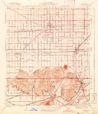
1943 Map of Fontana
USGS Topo · Published 1943About this map
The growing citrus and industrial corridors of San Bernardino County are prominently displayed in this 1938 survey. Extensive transit networks like the Pacific Electric and Atchison Topeka and Santa Fe railroads define the development pattern of Fontana and Rialto, where a strict grid of avenues—including Foothill Boulevard and San Bernardino Avenue—stretches across the valley floor. To the south, the landscape shifts toward the industrial and agricultural as the Fontana Aqueduct and Jurupa Canal manage the region's water. Notable local landmarks such as the Cement Plant near Crestmore and the distinctive Slover Mountain highlight the extraction industries of the era. Settlement pockets like Glen Avon, featuring the Glen Avon Ch and Glen Avon Sch, offer detail for genealogists researching these early San Bernardino and Riverside County communities before the mid-century suburban boom.
Find a feature on this map
48 named features on this map. Tap any name to fly to it.
Don’t see what you’re looking for? This feature index may not catch every label — zoom into the map to look around manually.
Map Details
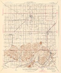
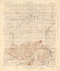
Editions of this 1943 Fontana Map
3 editions found
Other maps of this area

1896 · San Bernardino
USGS Topo · 1:62,500

1897 · Cucamonga
USGS Topo · 1:62,500

1898 · San Bernardino
USGS Topo · 1:62,500

1900 · Cucamonga
USGS Topo · 1:62,500

1901 · Southern California Sheet No. 1
USGS Topo · 1:250,000

1901 · San Bernardino
USGS Topo · 1:62,500

1901 · Elsinore
USGS Topo · 1:125,000

1901 · Riverside
USGS Topo · 1:62,500

1902 · Corona
USGS Topo · 1:125,000

1903 · Cucamonga
USGS Topo · 1:62,500