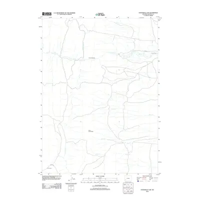
2012 Map of Fontenelle Gap
USGS Topo · Published 2012About this map
Fontenelle Gap serves as a prominent natural passage in this high desert landscape of Lincoln County, where the historic Emigrant Trl and Slate Creek Ridge define the movement of travelers and water alike. This 2012 survey documents the ranching heritage of the Green River Basin, specifically noting established properties such as Herschler Ranch and Jamison Ranch.
Find a feature on this map
12 named features on this map. Tap any name to fly to it.
Don’t see what you’re looking for? This feature index may not catch every label — zoom into the map to look around manually.
Map Details
Editions of this 2012 Fontenelle Gap Map
This is the sole edition of this map. No revisions or reprints were ever made.
Other maps of this area

1936 · Cokeville
USGS Topo · 1:96,000

1942 · Cokeville
USGS Topo · 1:125,000

1945 · Fort Hill
USGS Topo · 1:62,500

1947 · Fort Hill
USGS Topo · 1:62,500

1954 · Ogden
USGS Topo · 1:250,000

1954 · Kemmerer
USGS Topo · 1:62,500

1955 · Preston
USGS Topo · 1:250,000

1958 · Ogden
USGS Topo · 1:250,000

1958 · Preston
USGS Topo · 1:250,000

1960 · Ogden
USGS Topo · 1:250,000