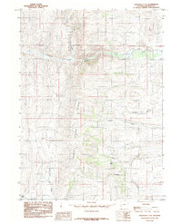
1985 Map of Fontenelle Gap
USGS Topo · Published 1985About this map
The Emigrant Trail (Sublette Cutoff) cuts across this high desert landscape, marking a critical route for pioneers moving westward through what is now Wyoming. This mid-1980s topography documents the path through the high country of Slate Ridge, where the terrain transitions toward the water resources of Fontenelle Creek and Dutch George Creek. The historical significance of this corridor is underscored by the presence of a Cem and the named locality of Pine Grove.
Find a feature on this map
15 named features on this map. Tap any name to fly to it.
Don’t see what you’re looking for? This feature index may not catch every label — zoom into the map to look around manually.
Map Details
Editions of this 1985 Fontenelle Gap Map
This is the sole edition of this map. No revisions or reprints were ever made.
Other maps of this area

1936 · Cokeville
USGS Topo · 1:96,000

1942 · Cokeville
USGS Topo · 1:125,000

1945 · Fort Hill
USGS Topo · 1:62,500

1947 · Fort Hill
USGS Topo · 1:62,500

1954 · Ogden
USGS Topo · 1:250,000

1954 · Kemmerer
USGS Topo · 1:62,500

1955 · Preston
USGS Topo · 1:250,000

1958 · Ogden
USGS Topo · 1:250,000

1958 · Preston
USGS Topo · 1:250,000

1960 · Ogden
USGS Topo · 1:250,000