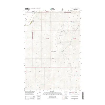
2014 Map of Foolhen Mountain
USGS Topo · Published 2014About this map
Fishtrap and the surrounding high country of the Beaverhead National Forest dominate this 2014 topographic study of the Montana-Idaho border region. The landscape is defined by the Big Hole River as it cuts through the northwest corner near Fishtrap Rd and MT-43, while the interior is a complex of drainages including Sawlog Cr and Bryant Cr. Elevated features like Foolhen Mtn, Trident Peak, and Foolhen Ridge rise above the basin, reflecting the high-altitude timber and watershed environment of Deer Lodge and Beaverhead counties. Remote water bodies such as Ferguson Lake, Johanna Lake, and Lovell Lake are tucked into the drainages of Alder Cr and Christiansen Cr. This map reveals a network of forest service roads, such as Calvert Loop Rd and Bryant Creek Rd, which provide the primary access through the wooded slopes and meadows of Moose Park and Still Gulch.
Find a feature on this map
50 named features on this map. Tap any name to fly to it.
Don’t see what you’re looking for? This feature index may not catch every label — zoom into the map to look around manually.
Map Details
Editions of this 2014 Foolhen Mountain Map
This is the sole edition of this map. No revisions or reprints were ever made.
Other maps of this area

1955 · Dillon
USGS Topo · 1:250,000

1957 · Dillon
USGS Topo · 1:250,000

1958 · Dillon
USGS Topo · 1:250,000

1962 · Dillon
USGS Topo · 1:250,000

1962 · Lincoln Gulch
USGS Topo · 1:24,000

1962 · Lower Seymour Lake
USGS Topo · 1:24,000

1962 · Pine Hill
USGS Topo · 1:24,000
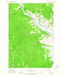
1962 · Dickie Hills
USGS Topo · 1:24,000
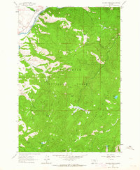
1962 · Foolhen Mountain
USGS Topo · 1:24,000

1962 · Proposal Rock
USGS Topo · 1:24,000