
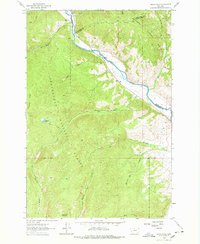
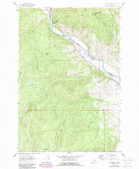
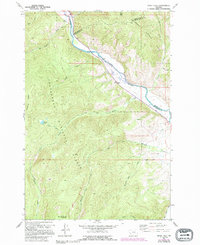
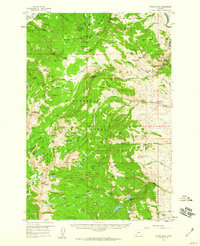
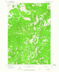
1962 Map of Dickie Hills
USGS Topo · Published 1964About this map
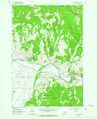
The Big Hole River winds through the northern portion of this landscape, forming a critical natural and jurisdictional boundary between Beaverhead, Deer Lodge, and Silver Bow counties. In the early 1960s, this area of the Beaverhead National Forest supported isolated ranching operations like the Davis Ranch and Glaus Ranch, both located near the river's path. The presence of a Gravel Pit and a small Mine suggests localized extraction efforts alongside the established agricultural holdings.
Find a feature on this map
29 named features on this map. Tap any name to fly to it.
Don’t see what you’re looking for? This feature index may not catch every label — zoom into the map to look around manually.
Map Details
Editions of this 1962 Dickie Hills Map
4 editions found
Other maps of this area

1893 · Dillon
USGS Topo · 1:250,000

1955 · Dillon
USGS Topo · 1:250,000

1957 · Dillon
USGS Topo · 1:250,000

1958 · Dillon
USGS Topo · 1:250,000
1958 · Vipond Park
USGS Topo · 1:62,500
1961 · Dickie Peak
USGS Topo · 1:24,000
1961 · Wise River
USGS Topo · 1:24,000

1962 · Dillon
USGS Topo · 1:250,000
1962 · Lincoln Gulch
USGS Topo · 1:24,000
1962 · Lower Seymour Lake
USGS Topo · 1:24,000